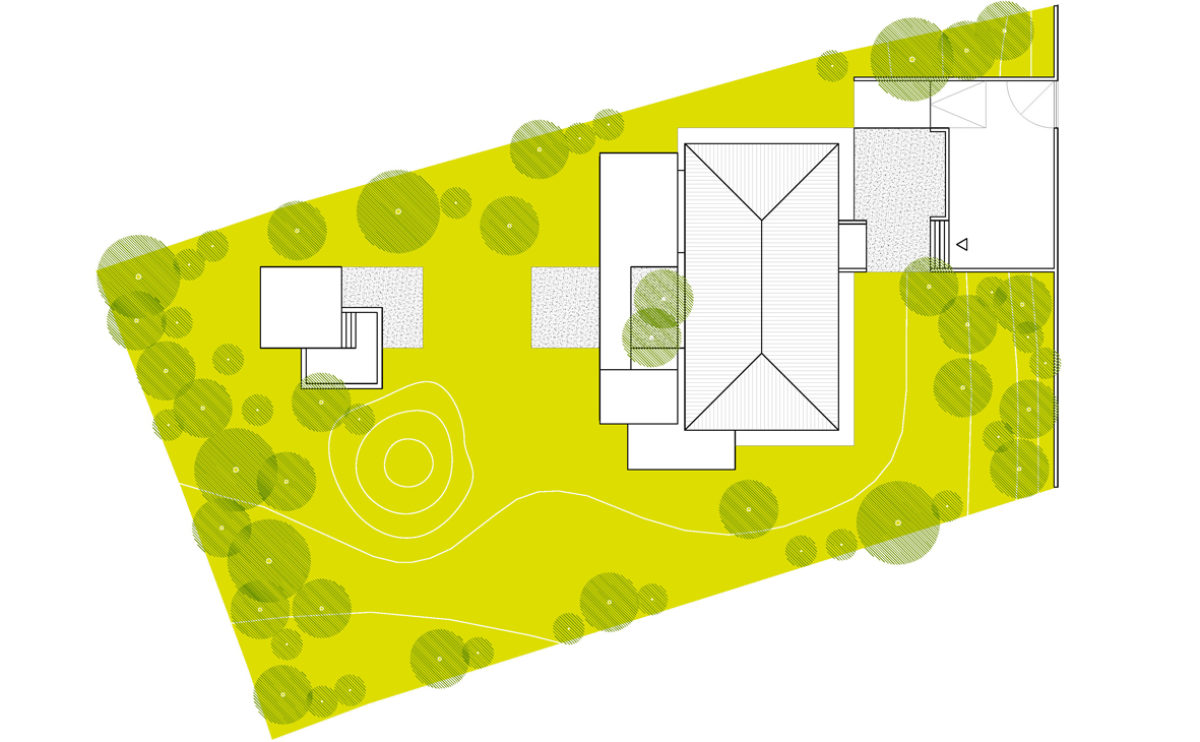
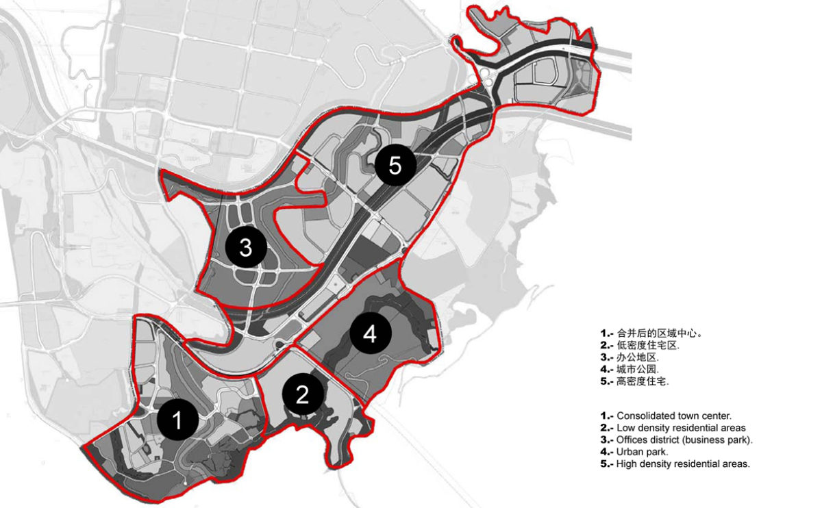
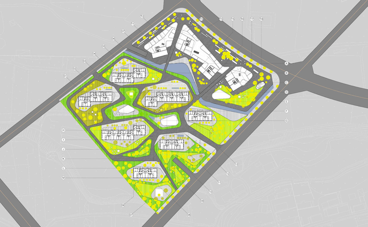
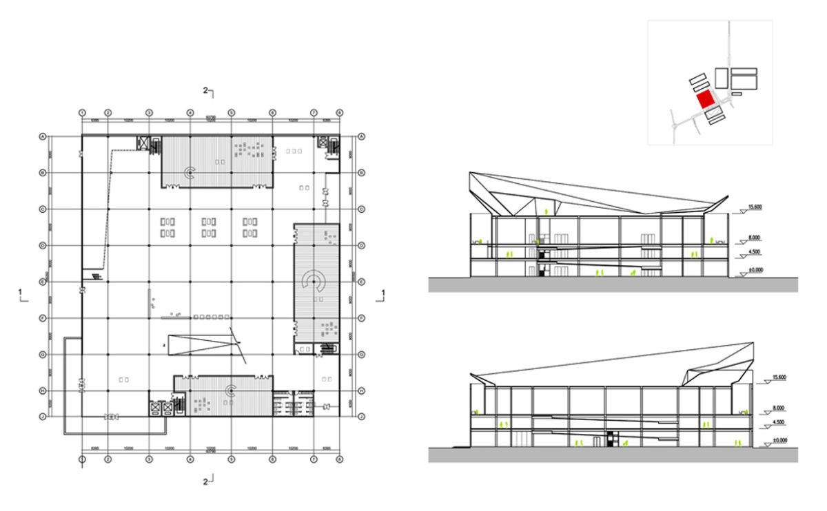
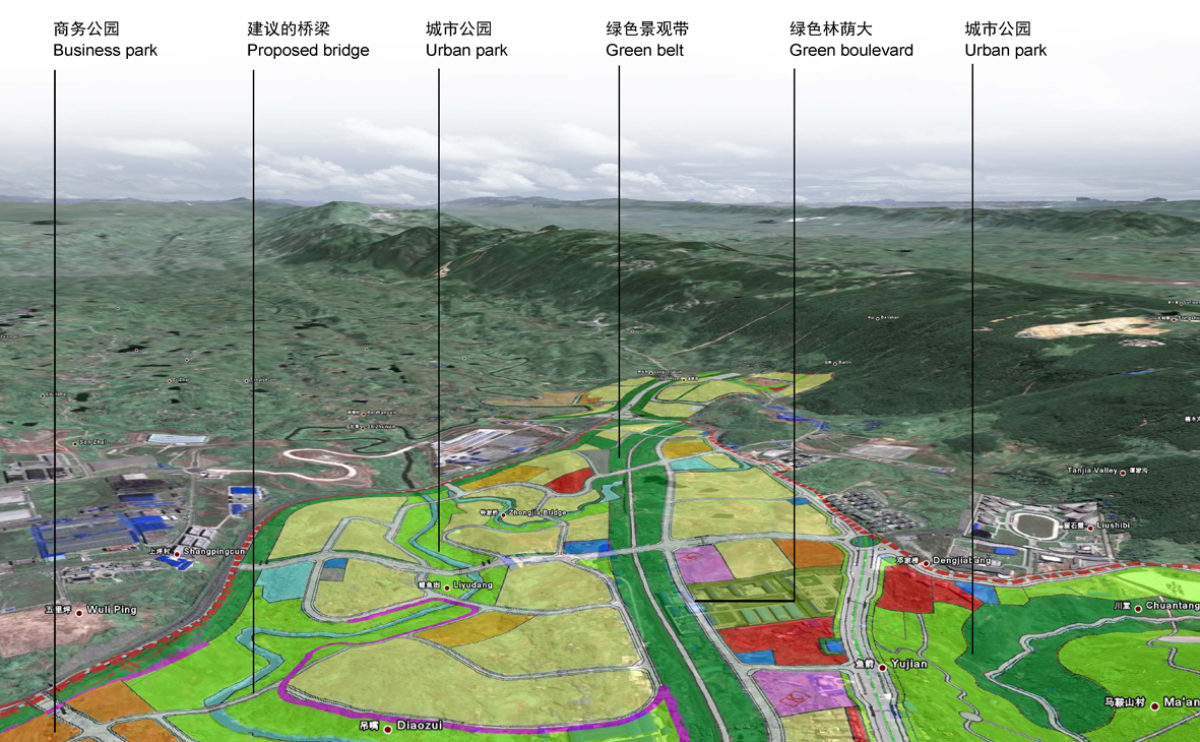
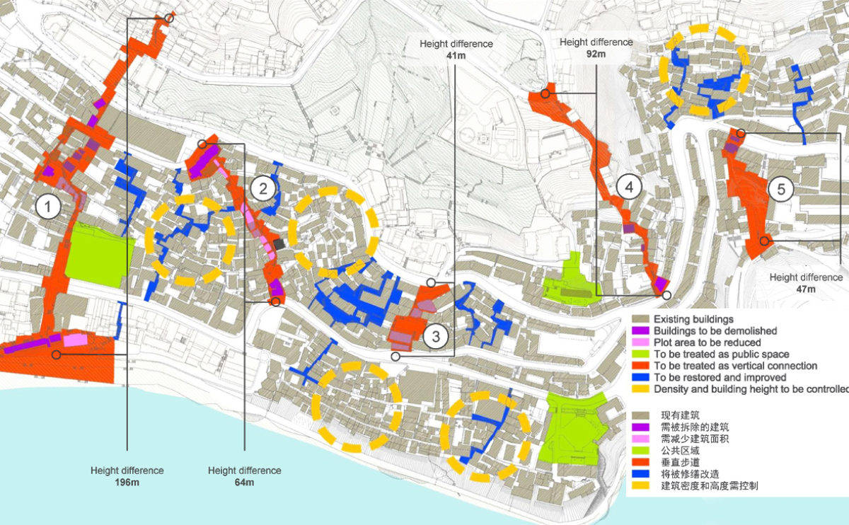
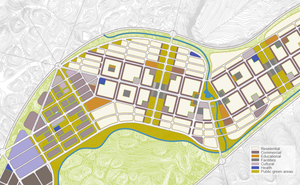
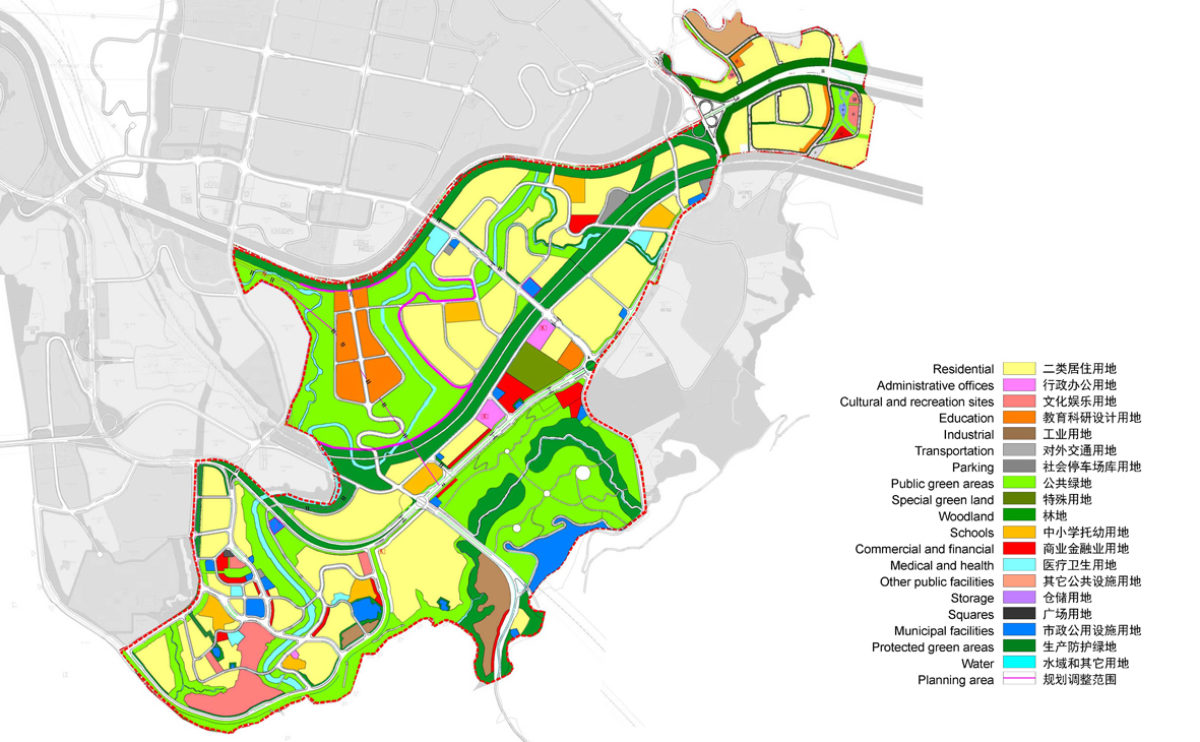
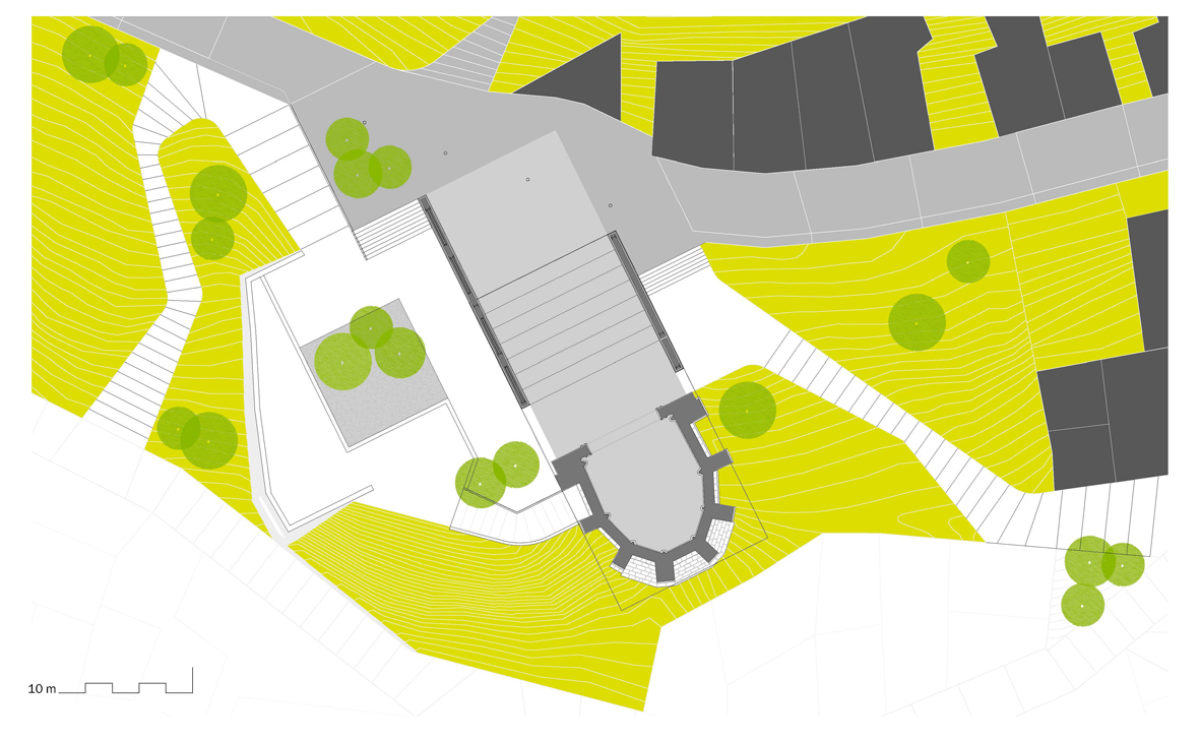
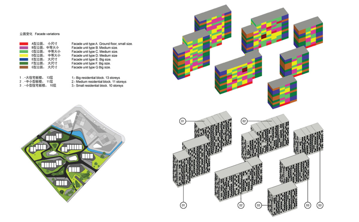
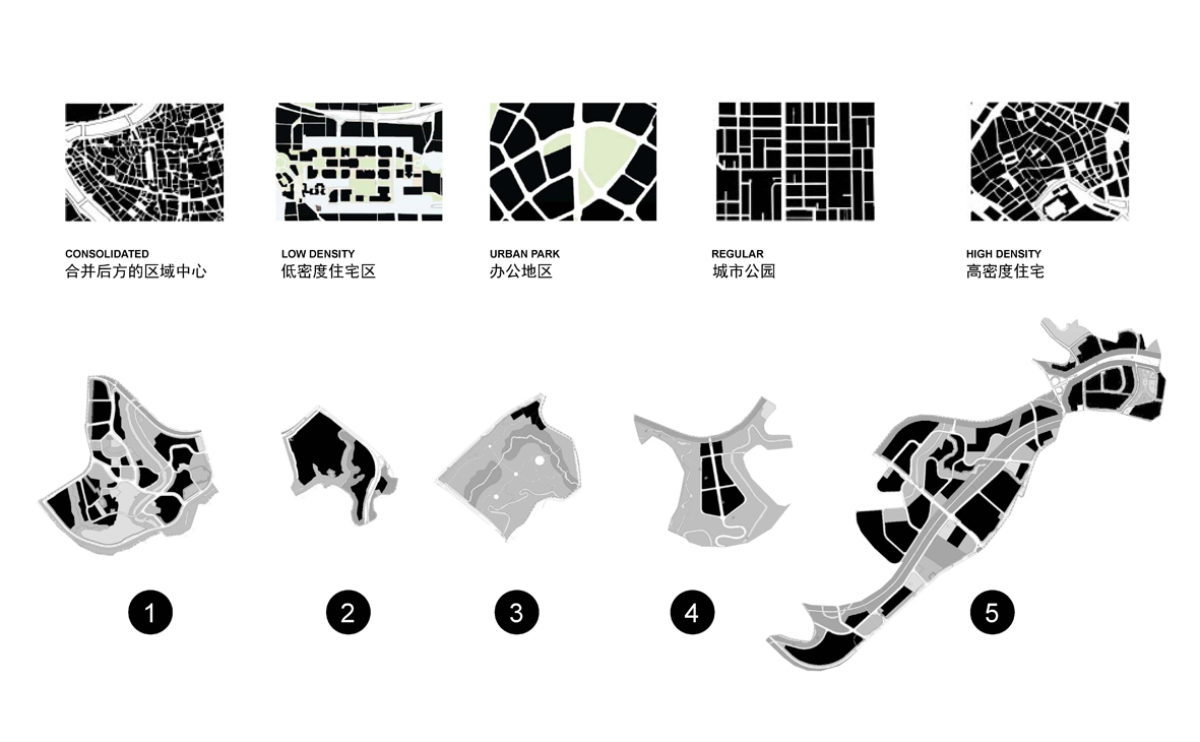
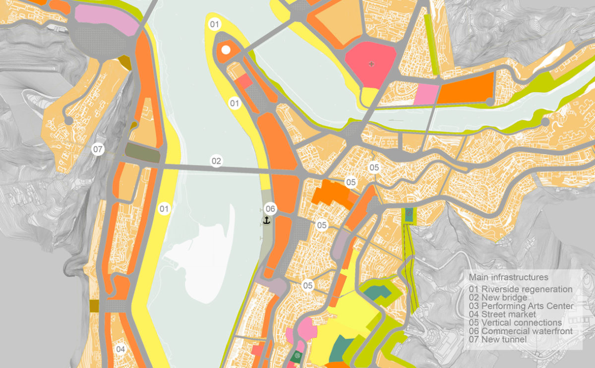
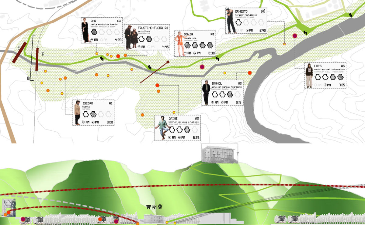
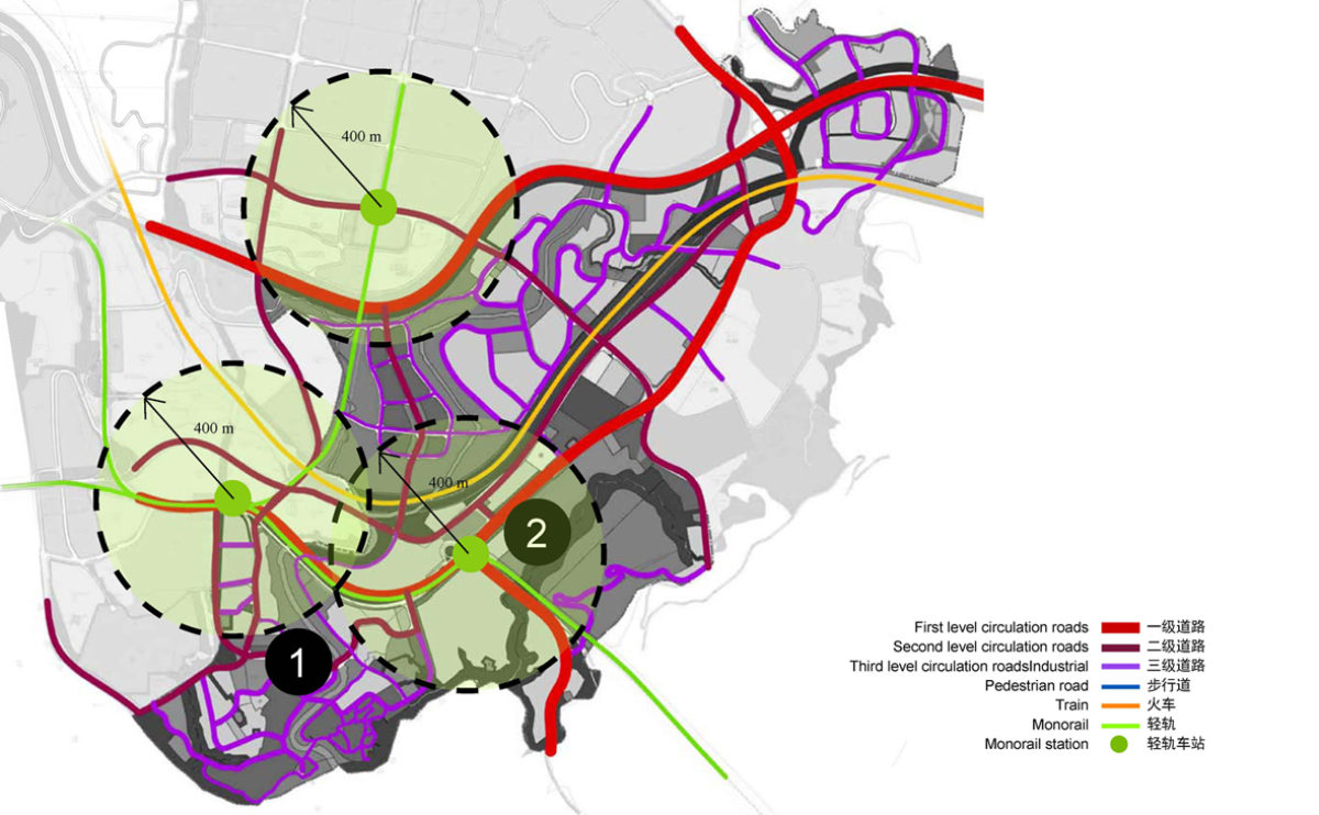
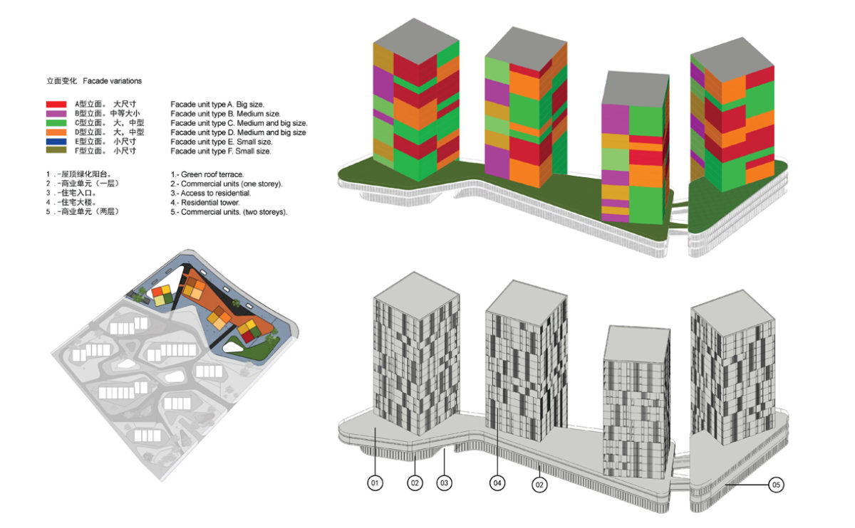
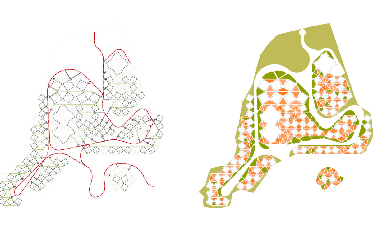
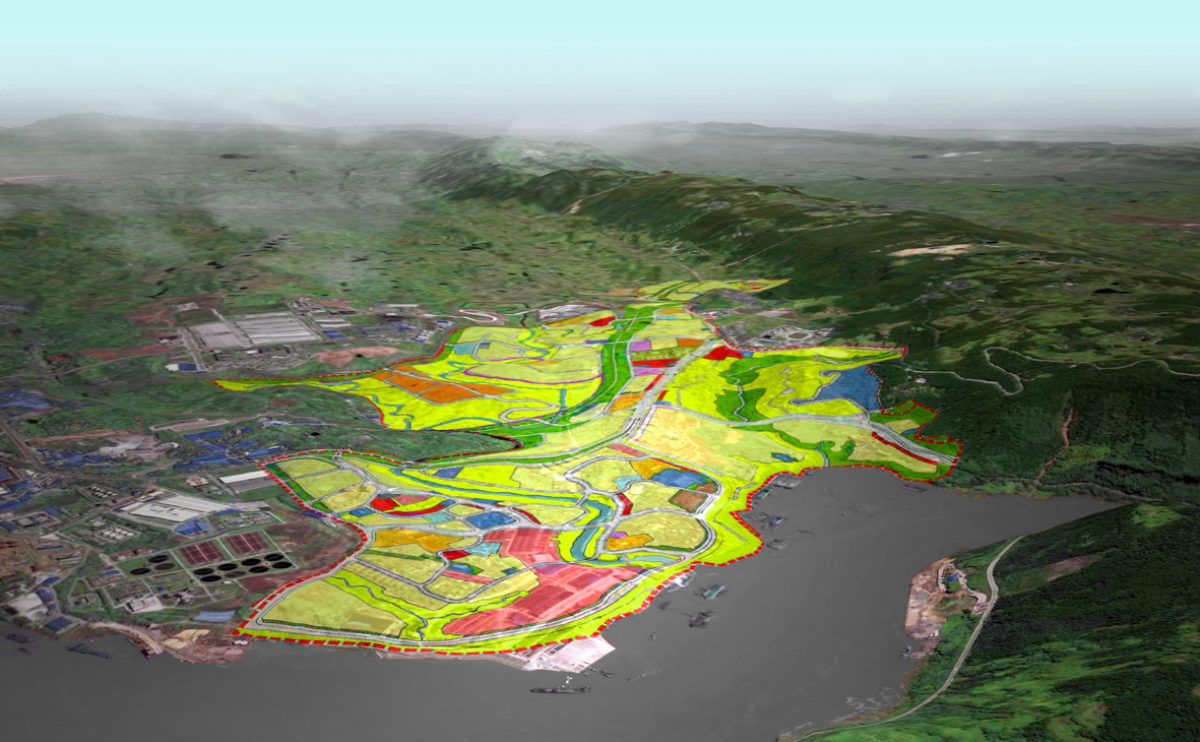
A site plan is a drawing that depicts the layout and features of a piece of land, showing the location, orientation and dimensions of buildings, structures, and other features on the site. Site plans are an important tool in the design and development of buildings and other structures, as they provide a detailed representation of the land and its features.
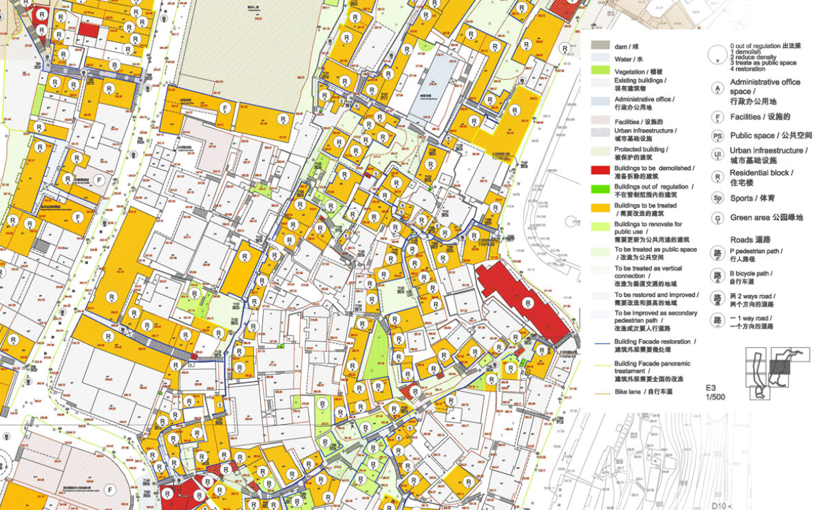
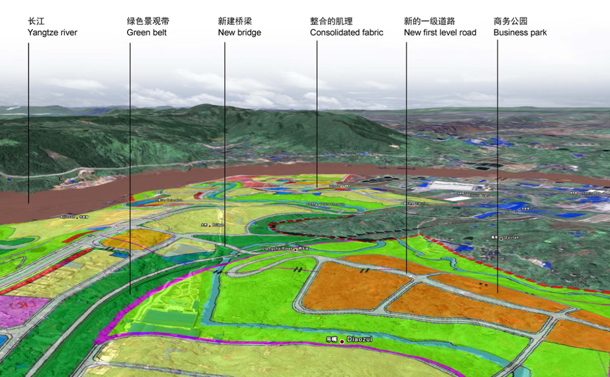
Site plans typically show the boundaries of the site, the location and dimensions of buildings and structures, and the location and dimensions of other features such as roads, walkways, utilities, and landscaping. They may also include topographic information, such as the contours and slopes of the land, and they may show the location and dimensions of rights-of-way, easements, and other legal considerations. Site plans can be represent the findings of a specific site analysys.
Site plans can be used to explore the functional, spatial, and environmental aspects of a site, and to study the relationships between different site features and the surrounding context. Site plans can also be used as a means of communication between designers, developers, and other stakeholders, and they can be used to convey ideas and concepts related to the development of a site.
