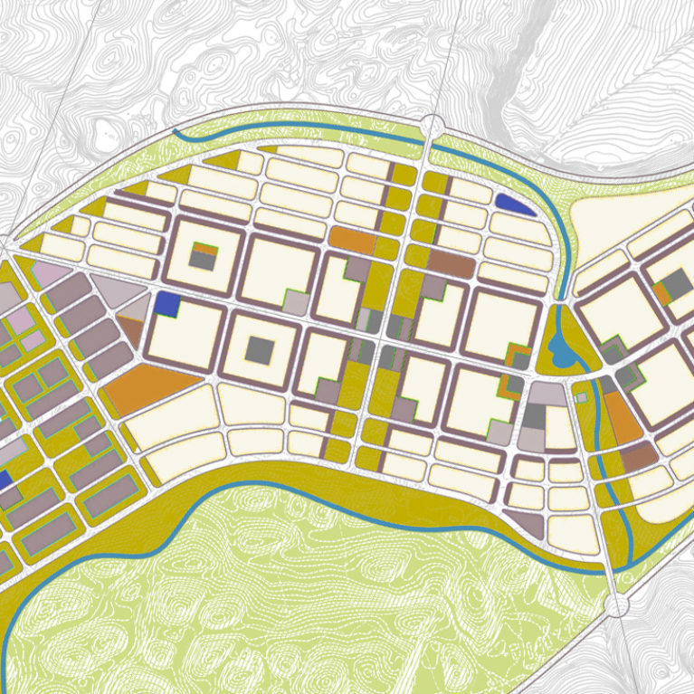
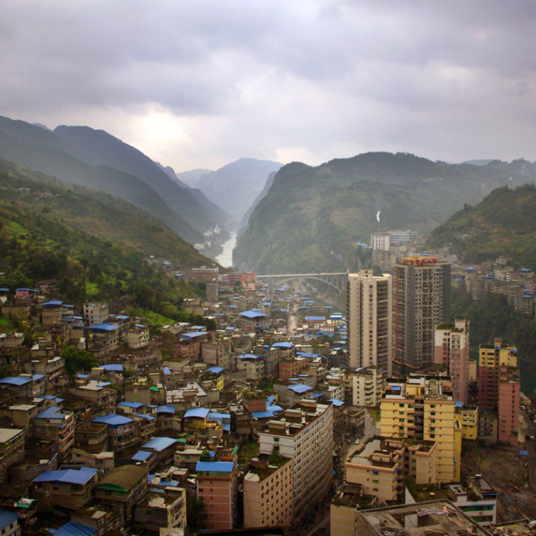
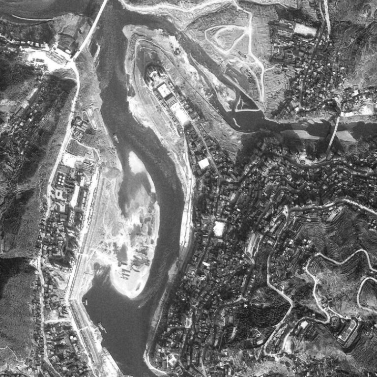
Pengshui city planning
work
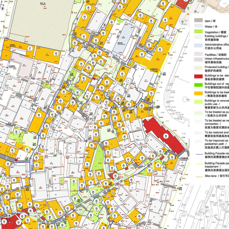
Pengshui city planning
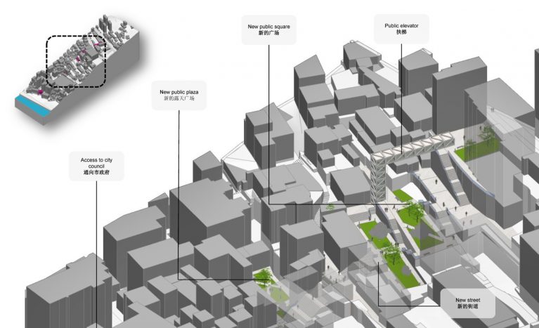
The pedestrian mobility diagram
office
#
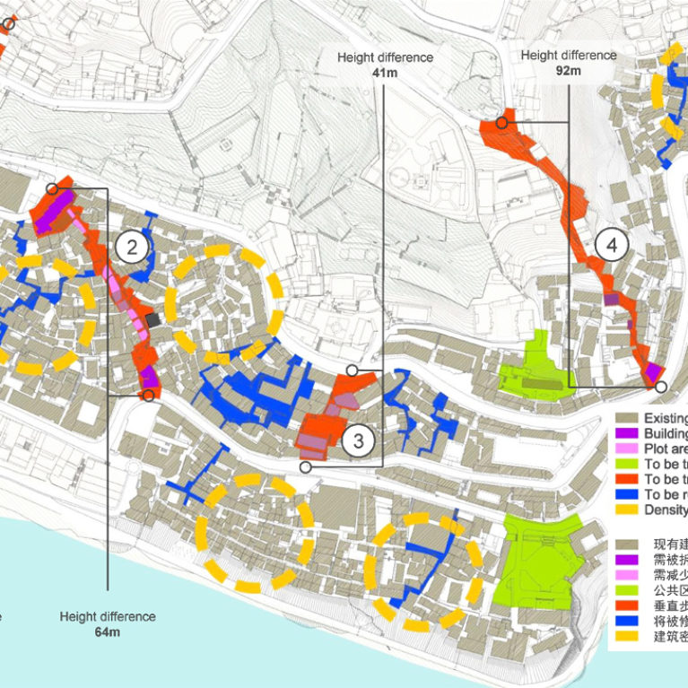
diagrams
plaza / square
More on this work